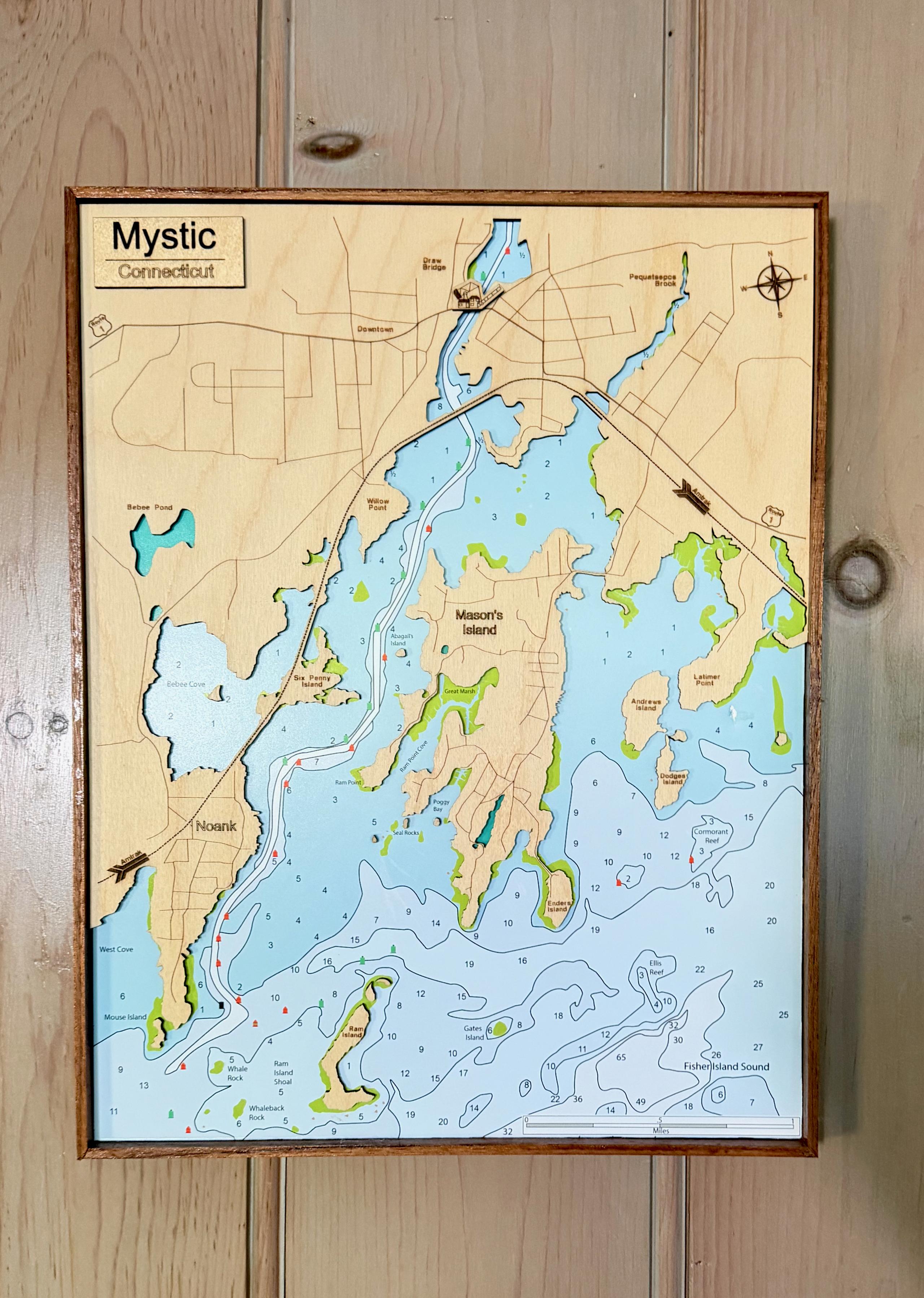
Area Map in Wood
Laser Creates Baltic Birch Map
I created this map of Mystic, Connecticut, using a 20-watt diode laser. I started with a satellite image and traced it in LightBurn, software designed for laser cutting and engraving. Using a Mac to control the laser, I cut the wooden pieces and engraved the roads and labels. I then glued the pieces over a nautical chart that I printed on photo paper, showing water depths and navigational details.
Come stay with us
Book direct with the owners: no platform fees, and we answer every inquiry ourselves, usually within a day.